At Flatirons, Inc., we are dedicated to meeting your land surveying needs with precision and reliability. Since opening our doors, we have successfully completed over 80,000 projects across Colorado and surrounding regions. Whether it’s a single-family residence or a complex large-scale development, our experienced team is ready to be your trusted partner on any project.
Flatirons, Inc. is 100% Employee-Owned
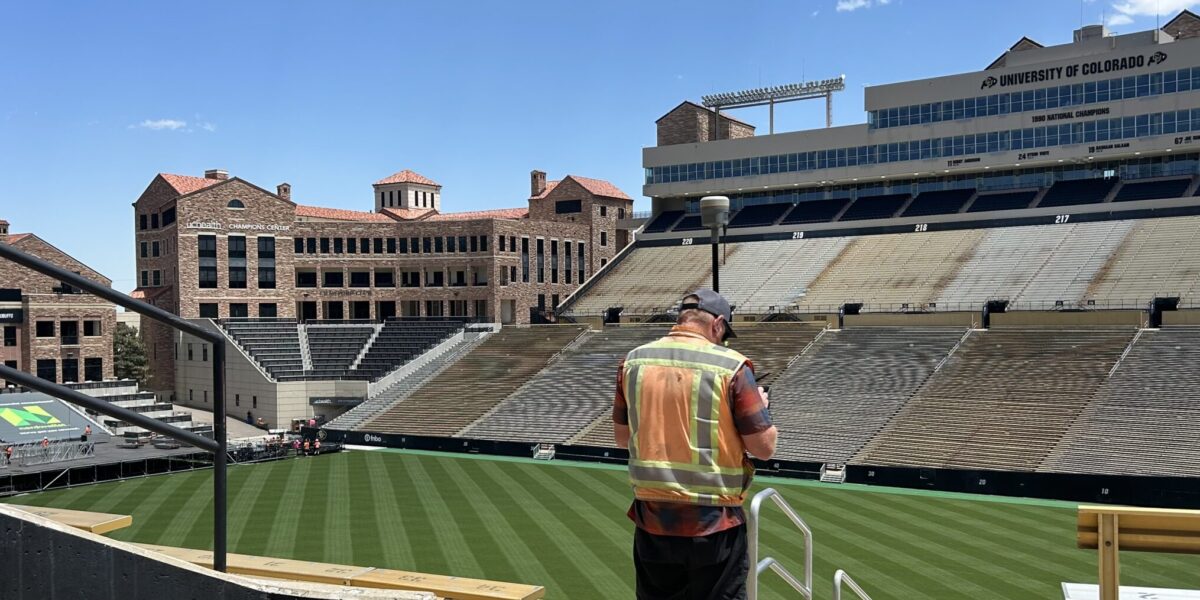
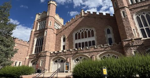
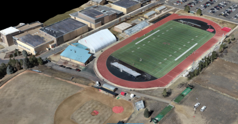
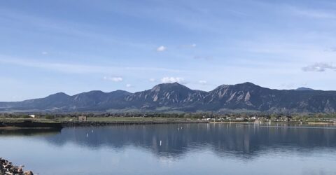
University of Colorado
Boulder, Colorado Reality Capture / Construction Layout Services / Boundary and Design Surveys
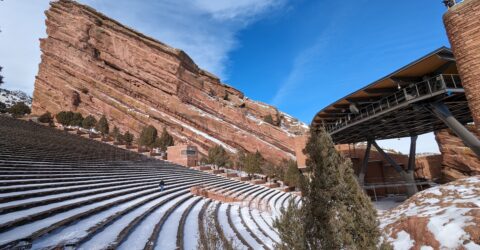
Red Rocks Park and Amphitheatre
Morrison, Colorado Reality Capture / Construction Layout Services
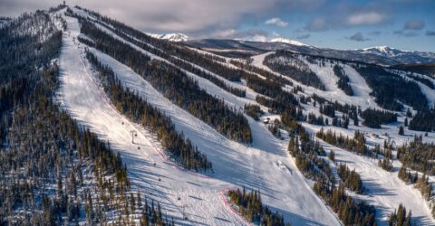
Winter Park Resort
Winter Park, Colorado Boundary Survey
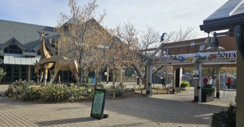
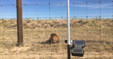
Denver Zoo Australia & Flamingoes Exhibits
Denver, Colorado Construction Layout Services
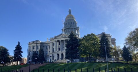
Colorado State Capitol Building
Denver, Colorado Boundary Survey
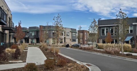
The Armory Apartments
Boulder, Colorado Construction Layout Services / Boundary & Design Surveys
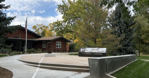
9-11 Memorial at Spring Park
Fort Collins, Colorado Construction Layout Services
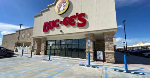
Buc-ee's
Berthoud, Colorado Design Survey / Construction Layout Services
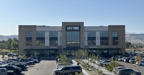
Life Time Denver West
Lakewood, Colorado Construction Layout Services
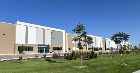
Encompass Business Park
Centennial, Colorado Construction Layout Services
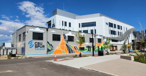
CSU Spur
National Western Center, Denver, Colorado Construction Layout Services / Boundary Surveys
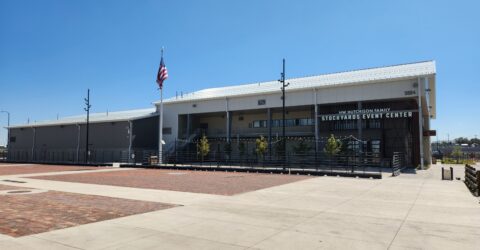
Stockyards Event Center
National Western Center, Denver, Colorado Construction Layout Services / Boundary Surveys