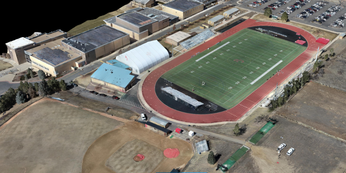
Aerial and Terrestrial Remote Sensing
Our Capabilities
- UAS Photogrammetry: High-resolution image-based mapping.
- UAS LiDAR Collection and Processing: Precision laser mapping using drones.
- Terrestrial LiDAR Collection and Processing: Ground-based 3D scanning for detailed surface models.
- Aerial Imagery Acquisition: Includes oblique and video capture for versatile mapping needs.
Our aerial collections are conducted using drone-mounted photogrammetric cameras and LiDAR sensors, ensuring accuracy and efficiency.